Roger River Project
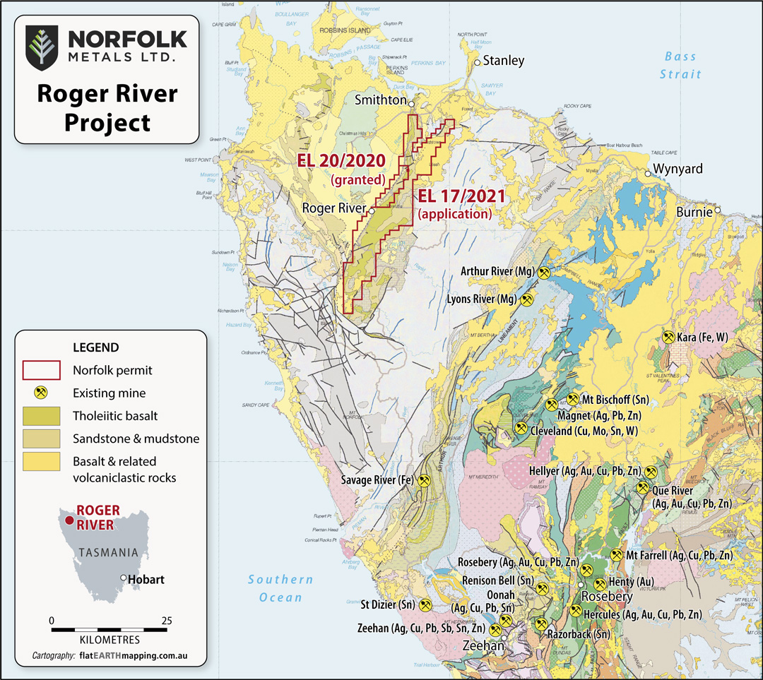
The Roger River Project comprises one granted exploration licence, EL20/2020, and one exploration licence application EL17/2021, which together cover 261km2, located 410km northwest of the capital city of Hobart, Tasmania.
The Project is prospective for gold as indicated by the intense silicification, argillisation and diatreme breccias in close proximity to the RRF along with carbonate-rich host rocks.
The Project covers over 90% of the regional Roger River Fault (RRF) which is traced over ~50km strike. This fault is a NNE trending major structure transecting Neoproterozoic rocks at the eastern margin of the Smithton Basin/Smithton Synclinorium.
By comparison with other major basin bounding faults in western Tasmania it is likely that the Roger River Fault has been through at least two major orogenic deformation events during the Paleozoic and it may have been reactivated again during the regional Cenozoic rifting and volcanism associated with the development of the Bass Basin (Morrison, 2014).
The region has minor registered gold and copper occurrences in the Tasmanian geological survey data. The minor copper occurrences have not been identified in the field by Sahara. The copper is considered to be associated with the basalt units in the region.
The Roger River project is primarily prospective for gold as indicated by the intense silicification, argillisation and diatreme breccias in the hanging wall of the steeply east-dipping, reverse Roger River Fault along with carbonate-rich host rocks which can result in emplacement of hot spring related epithermal mineralisation.
The rocks hosting the silicification zone comprise well bedded and banded dolomites, calcareous and dolomitic siltstones, grits, black shales and some cherts on the east or hanging wall side of the RRF, capped on topographic highs in places by basalt. The west or footwall side of the RRF contains dolomites, dolomitic siltstones and other carbonate-rich rocks.
The Project area can be accessed from Hobart by road via a very well-maintained national highway to Smithton, then by a secondary sealed road which runs through the middle of the permits. Access to and infrastructure is excellent.
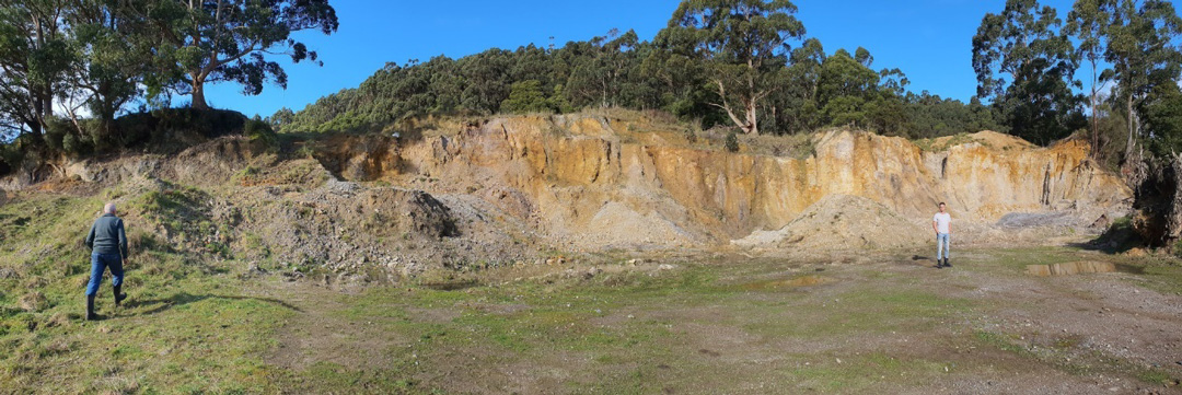
Exploration to date includes a series of exploration programs which included ground geochemistry, geophysics and drilling.
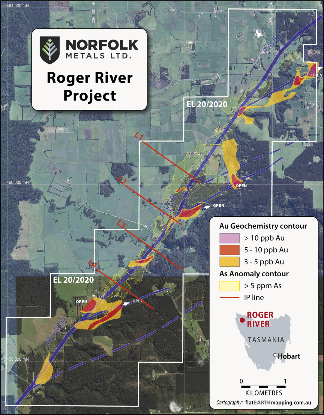
Initial drill targets for testing include anomalous gold and arsenic in soil geochemistry that are associated with splays off the regional scale RRF as shown in the figure below.
Sahara Natural Resources (NFL Independent Geoliogists) consider the Roger River Gold project to be prospective for defining epithermal gold mineralisation by ongoing systematic exploration. The region is unknown for gold and silver with only minor copper occurrences noted in historical surveys. The significance of the copper occurrences is relatively poorly known at this stage and requires additional work.
Work completed by previous tenement holder(s) between 2013 and 2015, defined the following targets:
- Prospective carbonate rich host rocks
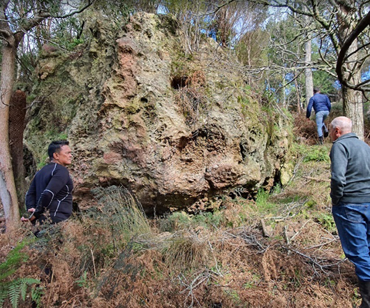
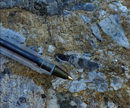
- Several diatreme breccias outcropping on surface (between 10m and 200m diameter observed by Sahara)
- Major regional fault system (Roger River Fault) that can be traced over 50km strike
- Low level gold and arsenic defined in soil geochemistry and associated with splays off the main fault system
Epithermal gold deposits have been discovered internationally with often very little surface mineralisation. Examples of hidden deposits are Siana Mine in Philippines and Jerrit Canion in USA.
